Saturday, July 27, 2013

Section 16, Palmer Trail

We accessed the Section 16 trailhead by heading west on hwy 24, left on 21st, and then right on Gold Camp Road.  There were a group of trail maintenance volunteers working so the parking area was full and we had to park a bit further down the road.  Thanks to trail maintenance volunteers!!! 

This was a never ending climb up the side of the mountain.  We had to stop and catch a breather several times.  My husband is on a heart medication that doesn't allow his heart to speed up and he was having quite a bit of difficulty with that.  The trail is a very pretty hike through the forested mountain though.  Some parts of the trail are quite rocky. It was on this trail that we realized that a mountain trail rated moderate by some guy on the internet could be difficult.  Not only was the "internet guy's" rating subject to his personal traits (24-year-old seasoned hiker vs 50 plus in so-so shape), but that lengthy mountain hikes require a certain amount of physical conditioning even for an easy hike.  Moderate hikes are moderate because there are other mountain hikes can be exceedingly difficult.


At the top were incredible views.


The walk down the mountain was exhilarating because we had earned it!  Read that our endorphins definitely kicked in!! 
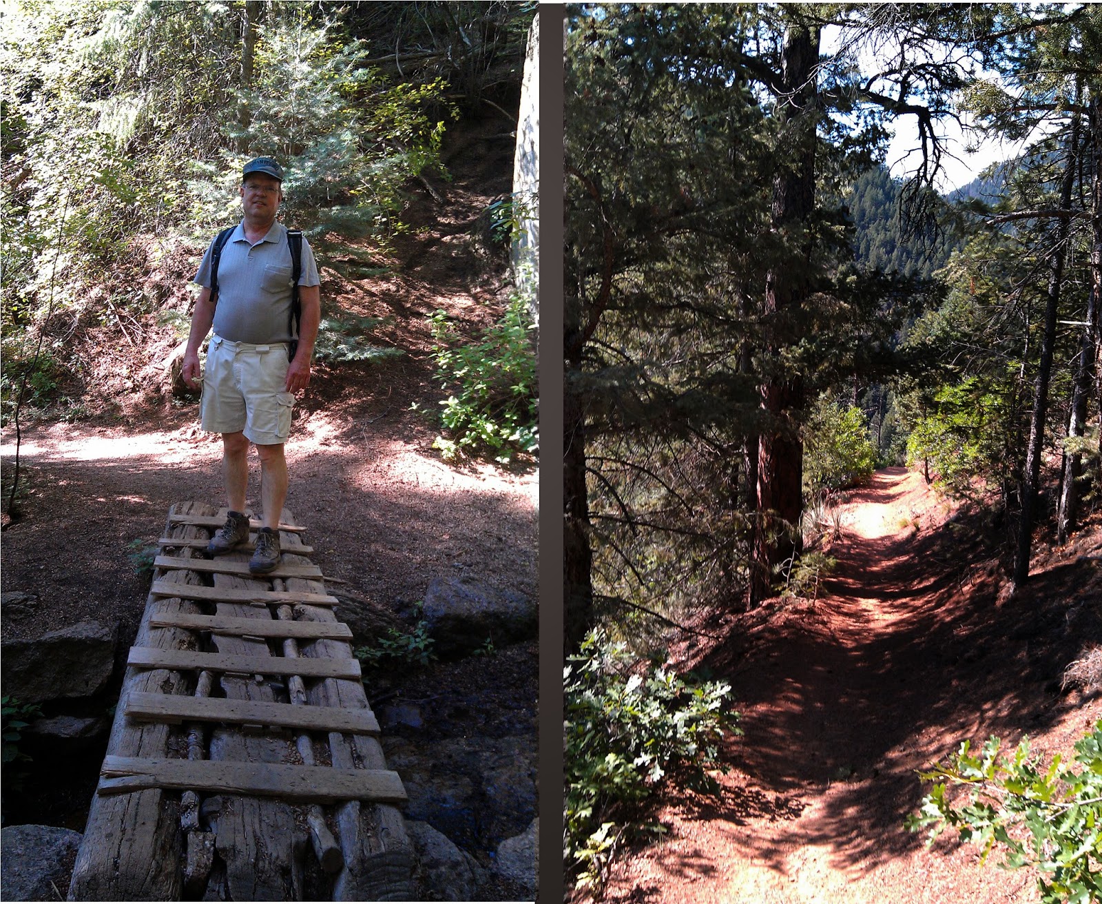


Felt good at the finish.  We are starting to realize that most of the trails here start with a climb up a mountain and end with great satisfaction.  (-;  At the bottom the trail split -- we went right where it joined a dirt road that ran along side a small bubbling creek bed.  There were some nice flowers and butterflies along side the road. 


The dirt road brought us back to Gold Camp Road where we hiked up the hill to our car.  We enjoyed the hike and are becoming addicted to the joy of hiking.  We will return when our butts are in better shape and they surely will be if we keep this up.


Saturday, July 20, 2013

Palmer Lake - near the Ice Caves

This trail is located off of I-25.  Take exit 161 and take Hwy 105 to Palmer Lake.  I don't remember exactly what road we turned left on, but from google it looks like Glenway Street.  I think we got these directions online somewhere, but I can find it now.  You will see a gorgeous victorian estate on the right with a yellow victorian house and several out buildings.  I loved going this way just to see this!  It was for sale when I was there -- but at $2.7 million with furnishings included it was out of my price range.  lol!  I keep it in mind for when I win the lottery.  Later I found out this is Estemere Estate and there is a website with the history and photos online (http://www.estemere.net/).  It's even got a small chapel and potential for an art studio.  But I digress. I understand there is a trailhead from other descriptions on how to get there.  This may be the better way to go.  We did have to park near the Victorian estate and walk up the road to the gate where the trail goes up.  We could see that others were hiking up from another location -- probably the trailhead. (-;


 The first half mile is a grueling hike up hill until you reach the first reservoir.  There is a second reservoir further up that we hiked to.  Apparently to get to the ice caves you take the less developed trail to the right.  We went left and explored some trails over that way and so never got to the ice caves.  This is a really pretty hike.  Close to the reservoir there is an entirely different ecosystem than elsewhere we've been in our mountain hikes.  It is really wonderful.  There are lots of blooming flowers this time of year and butterflies.  There were several people fishing and walking about.


Saturday, June 1, 2013

Red Rocks Canyon Open Space

When we first started hiking this year it was because my sister-in-law Sharon came through for a whirlwind visit and wanted to do some hikes.  We three hiked Red Rocks Canyon Open Space.  Red Rocks Canyon is located off of Hwy 24 and Ridge Road.  Going west on Hwy 24 you would turn left on Ridge Road before you get to Manitou Springs.  Red Rocks Canyon has a plethora of trails to choose from and is unique in that the rock formations all are red in color and go strikingly well with the green of the pine trees.  This is a great starter trail for people who aren't used to the altitude or not yet in shape to climb trails with great elevation changes.

Red Rocks Canyon is  really nice to hike because it doesn't require a long drive into the mountains and you have so many trail choices.  Also, although there are hills to climb, many are gradual ascents.  We were easily able to handle any trail we took and we were not really in shape.  (-;  I think it will be a great way to stay in shape during the winter.  Here is the city of Colorado Springs web page on Red Rocks Canyon:  https://www.springsgov.com/Page.aspx?NavID=2090  It tells you the history, location, and has a trail map you can print out.  We are NOT mountain climbers and there are rules for people who choose to do so - see the site.  We hiked without a map -- there are signs to guide you with maps on them, but I think a printed map would have helped in planning our hike.  Here are pictures of some of the sights we saw: